Xo'jayli District
Notable people born here (1 person)
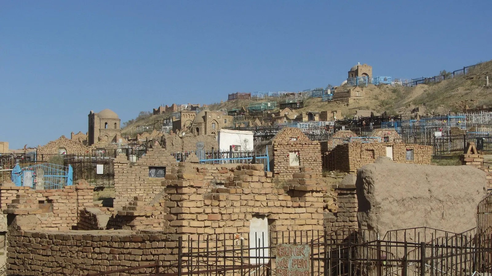
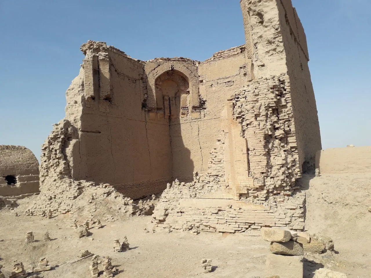
Xoʻjayli District lies on the left bank of the Amu Darya in Karakalpakstan, on the border with Turkmenistan. Its centre is the town of Xoʻjayli, and it is known for the ancient Mizdakhan complex.
- Population
- 131,300 (2026)
- Area
- 2,050 km²
- Density
- 64 per km²
Karakalpakstan: cities and districts
About the place — Xo'jayli District
History
The district was formed in the 1920s within the Karakalpak Autonomous Oblast. Part of Shumanay District was added in 1960, and in 2017 its south-eastern part became the new Taxiatosh District.
Geography
The district borders Nukus and Qanlikoʻl to the north, Taxiatosh to the east, Shumanay to the west and Turkmenistan to the south. It is mostly a plain between the Amu Darya and the Turkmen border. The climate is sharply continental, with January averaging about −7 °C, July about +27 °C and some 120 mm of rain a year. Farming dominates the north, while the south along the canals is more densely settled.
Sights
- Mizdakhan — the ruins of an ancient town and a vast necropolis built up over many centuries.
- Mazlumkhan Sulu Mausoleum — a medieval mausoleum at Mizdakhan, partly set into the ground.
- Shamun Nabi Mausoleum — a shrine with a long tomb on the Mizdakhan hill.
Sources: Wikipedia (uz) · Wikipedia (ru) · Wikipedia (en) · gov.uz