Fergana Region
Notable people born here (239 people)
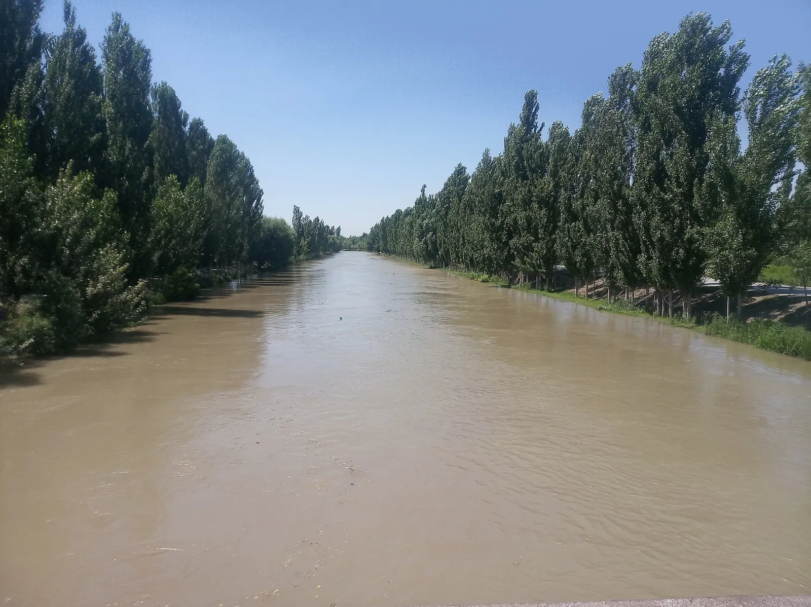
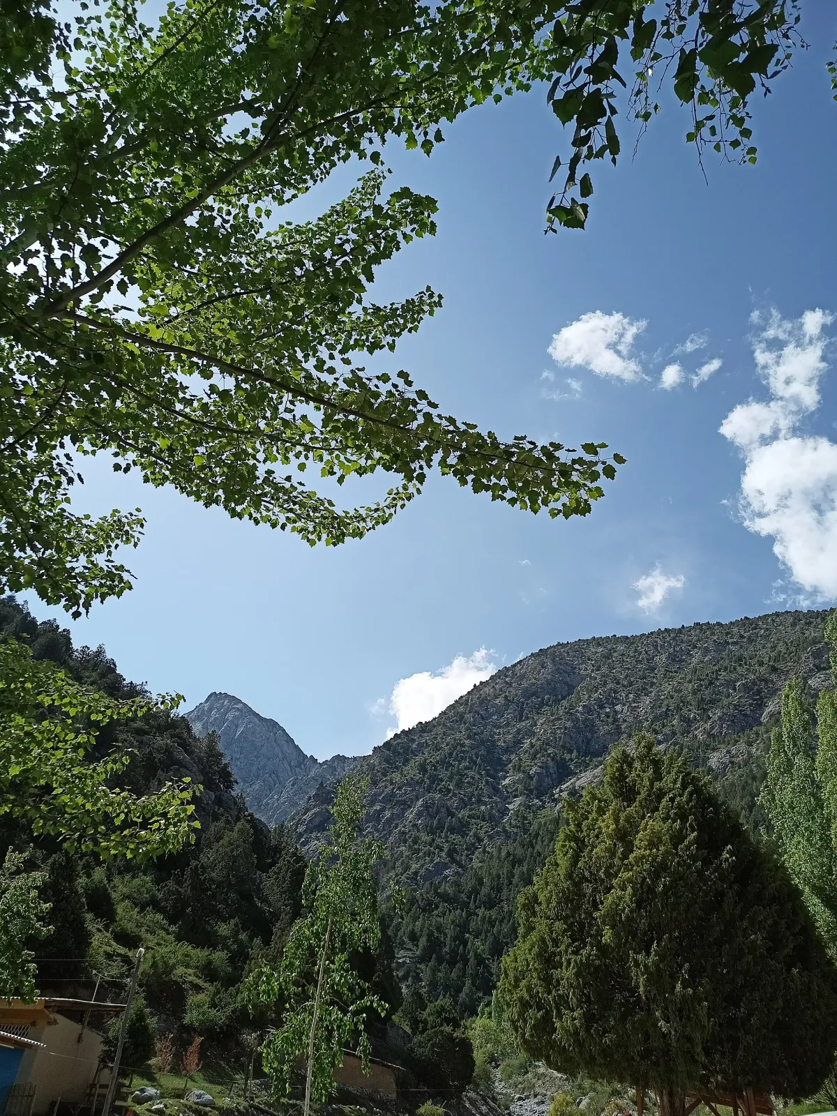
Fergana Region covers the southern and central Fergana Valley and is among the most populous regions of Uzbekistan. It is home to the craft towns of Kokand, Margilan and Rishtan; its centre is the city of Fergana.
- Population
- 4,223,000 (2026)
- Area
- 6,760 km²
- Density
- 625 per km²
- Administrative centre
- Fergana
- Founded
- 1938
Also well known





Cities and districts (16)
















About the place — Fergana Region
History
The southern valley has been inhabited since the Stone Age: Bronze and Early Iron Age sites came to light while the Great Fergana Canal was being dug. In the 10th–11th centuries the town of Quva was one of the most prosperous in the valley, and Margilan is known from the same period.
In 1709 the Khanate of Kokand was founded in the western part of the valley. In the early 19th century it took Tashkent and neighbouring lands and became one of the strong states of Central Asia, while Kokand grew famous for its scholars and crafts.
In 1876 the Russian Empire abolished the khanate and created Fergana Oblast in its place. Its seat was New Margelan, built beside Margilan — today's Fergana. Railways and cotton gins turned the valley into the empire's cotton base.
Fergana Region of the Uzbek SSR was formed on 15 January 1938; in 1941 Andijan and Namangan regions were split from it. The Great Fergana Canal, dug in 1939 by mass voluntary labour (hashar), transformed the valley's farming, and oil refining and chemical industry developed.
Today the region has 15 districts and four cities of regional status: Fergana, Kokand, Margilan and Quvasoy.
Geography
The region occupies the southern half of the Fergana Valley. It borders Namangan Region to the north, Andijan Region to the east, Kyrgyzstan to the south and east, and Tajikistan to the west. The exclaves of Sokh and Shohimardon lie inside Kyrgyzstan. The area is about 6,800 km².
The north is a low plain along the Syr Darya with semi-desert and sandy tracts, while the south rises into the foothills of the Alay and Turkestan ranges. The Isfara, Sokh, Shohimardonsoy and Isfayramsoy rivers descend from the mountains, and the Syr Darya runs along the north-western border. The Great Fergana Canal is the backbone of irrigation.
The climate is continental, with long hot summers and short winters. Precipitation is low: about 100 mm a year in the west, 170 mm in the east and up to 270 mm in the foothills. A strong "Kokand wind" blows in the west, and the dry, hot garmsil comes in summer.
Oil, gas and building materials are extracted. The fertile irrigated land grows cotton, grain, grapes and fruit, and silkworm breeding is widespread.
Sights
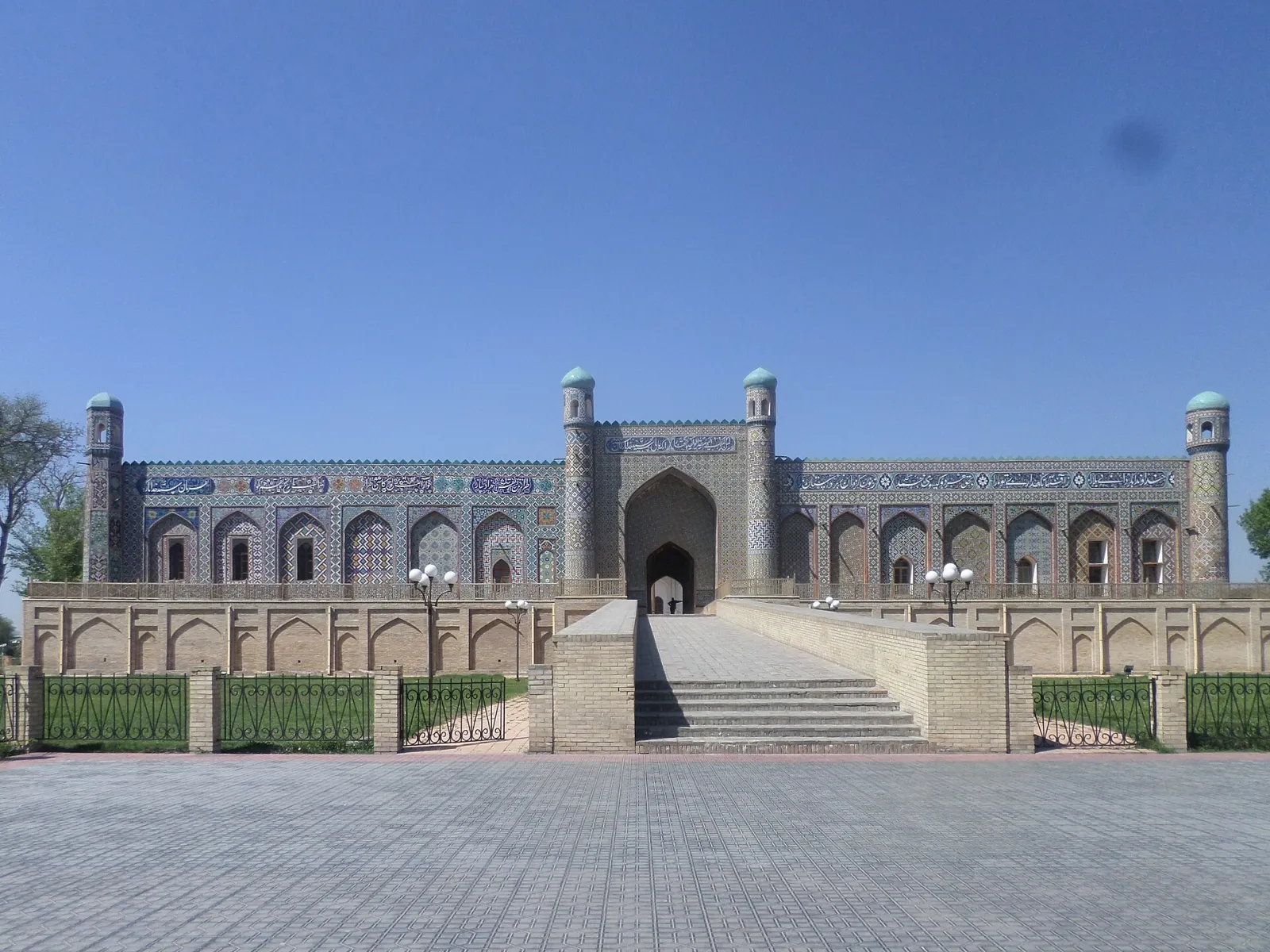
- Khudayar Khan Palace — the 19th-century khan's palace in Kokand with a tiled portal, now a local history museum.
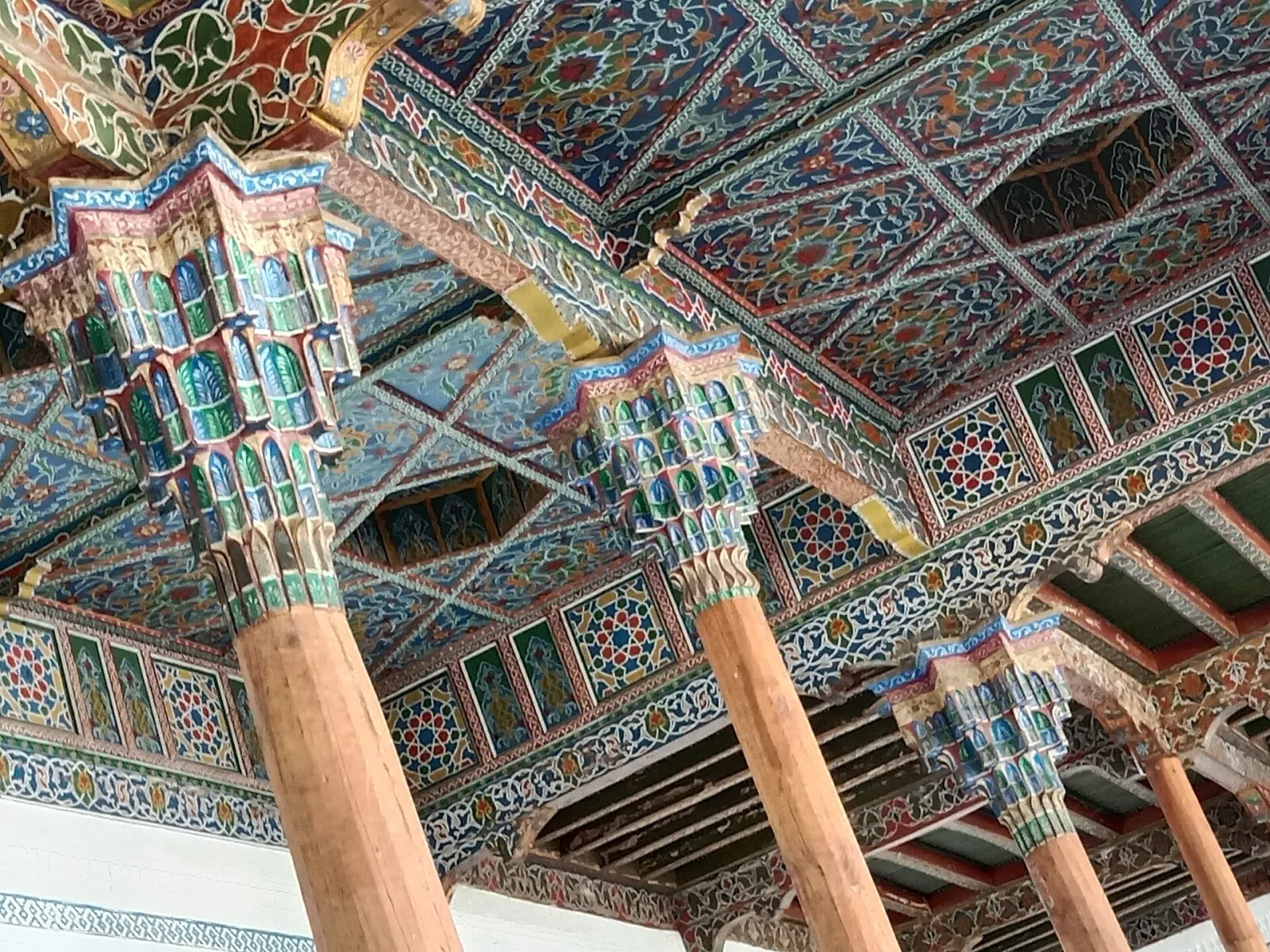
- Kokand Friday Mosque — a large mosque famous for its broad veranda on carved wooden columns.
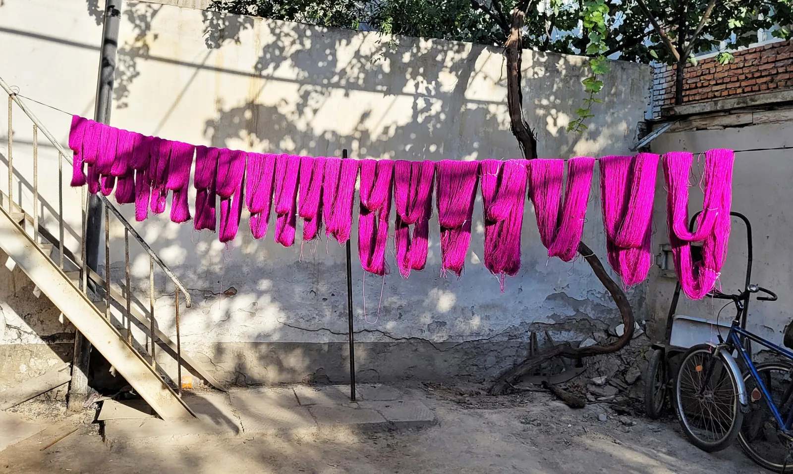
- Margilan — an ancient town where atlas and adras silk weaving lives on; the Yodgorlik factory shows silk being woven by hand.
- Rishtan — a town of potters known worldwide for its blue-green glazed ceramics.
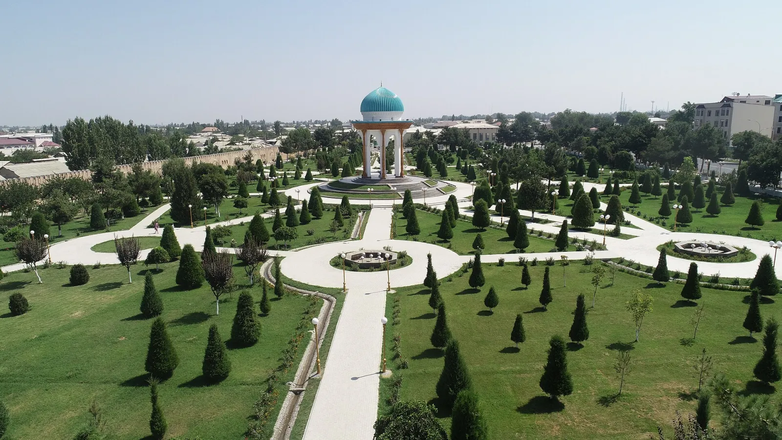
- Al-Farghani Park in Fergana — a large park with a monument to the 9th-century astronomer from the valley.
- Great Fergana Canal — the valley's main irrigation artery, dug in 1939.
- Shohimardon — an exclave in the Alay mountains, a favourite retreat with cool gorges and Kulikubbon Lake.
- Quvasoy — an industrial town at the foot of the mountains, surrounded by scenic hills.
Sources: stat.uz · farstat.uz · Wikidata · Wikipedia (uz) · Wikipedia (ru) · Wikipedia (en) · gov.uz