Bukhara Region
Notable people born here (173 people)
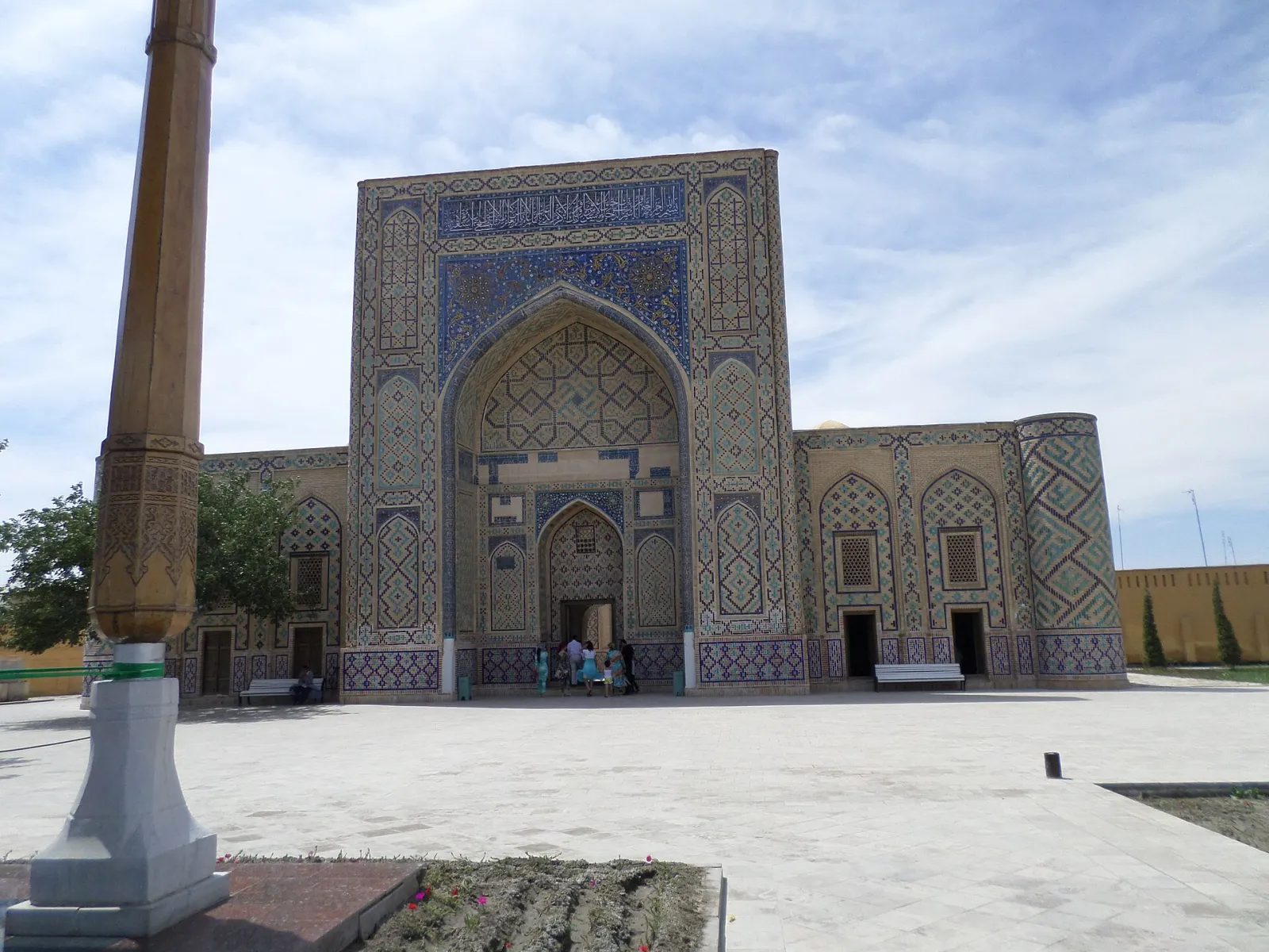
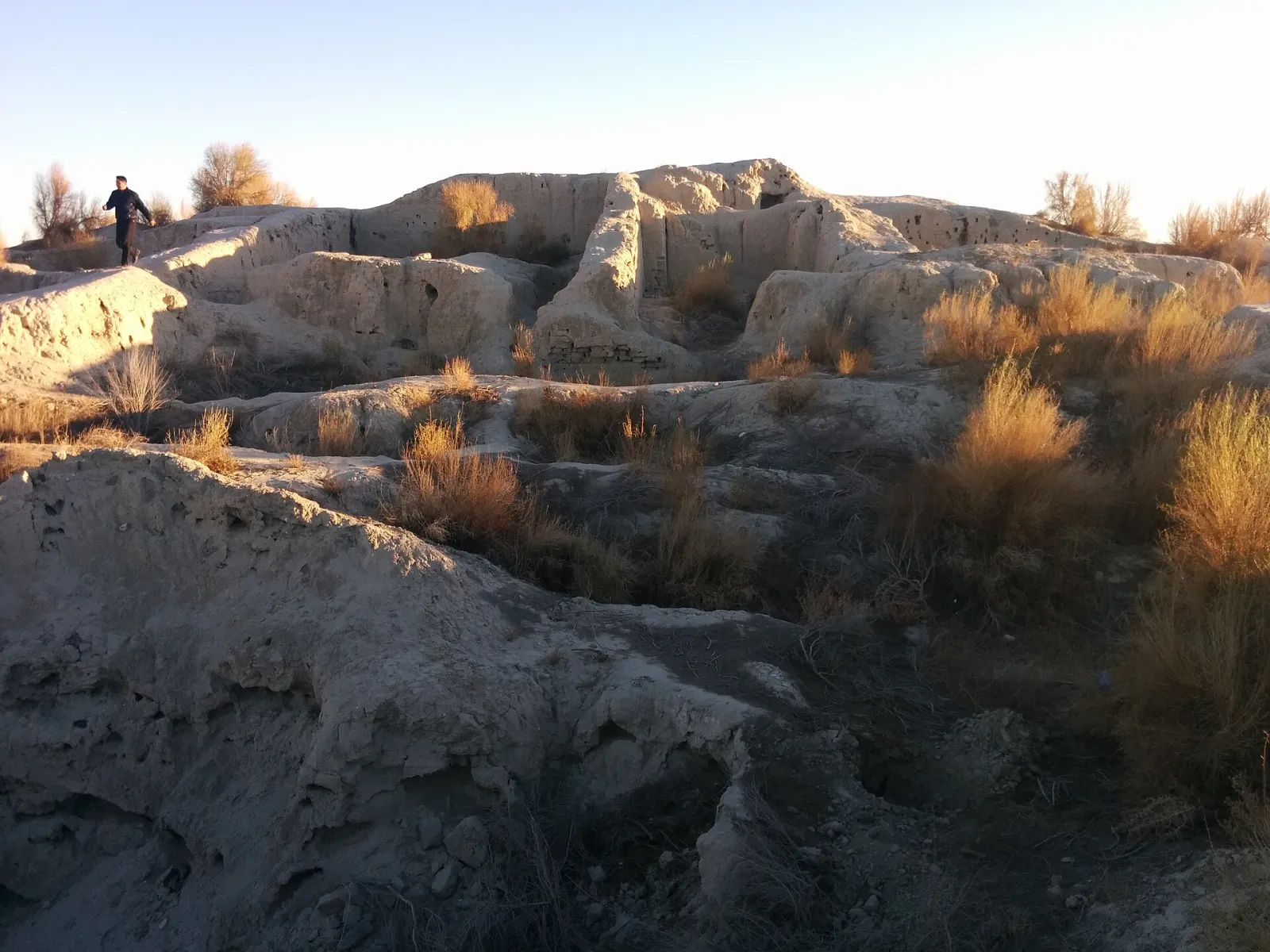
Bukhara Region lies in south-western Uzbekistan, most of it covered by the Kyzylkum Desert. Its centre is the ancient city of Bukhara; the region is known for natural gas, karakul sheep breeding and historic architecture.
- Population
- 2,107,035 (2026)
- Area
- 40,300 km²
- Density
- 52 per km²
- Administrative centre
- Bukhara
- Founded
- 1938
Also well known


Cities and districts (12)







About the place — Bukhara Region
History
The Bukhara oasis has been a centre of farming and trade since antiquity. The ruins of early towns such as Paykend, Varakhsha and Vardanze survive here; the wall paintings from the palace at Varakhsha are among the rare examples of Sogdian art.
The oasis was conquered by the Arabs in the early 8th century. In the 9th and 10th centuries Bukhara was the capital of the Samanid state and the leading centre of learning in Transoxiana. Later the area passed in turn to the Karakhanids, the Khwarazmshahs, the Mongols and the Timurids.
From the 16th century Bukhara was the capital of the khanate founded by the Shaybanids, and from the mid-18th century of the Emirate of Bukhara under the Manghit dynasty. In 1868 the emirate became a dependency of the Russian Empire; it was abolished in 1920 and replaced by the Bukharan People's Soviet Republic, and after the national delimitation of 1924 the territory became part of the Uzbek SSR.
Bukhara Region was created on 15 January 1938. At first it was much larger, taking in parts of today's Kashkadarya and Surkhandarya regions, which were separated in the 1940s. In 1982 its northern districts became the new Navoiy Region.
The discovery of large gas fields around Gazli in the mid-20th century transformed the local economy. In 1993 the historic centre of Bukhara was inscribed on the UNESCO World Heritage List, and in 1997 the city's 2,500th anniversary was celebrated. Today the region's economy rests on gas, cotton, crafts and tourism.
Geography
The region lies in the south-west of Uzbekistan. It borders Khorezm Region and the Republic of Karakalpakstan to the north-west, Navoiy Region to the north and east, and Kashkadarya Region to the south-east; to the south-west runs the state border with Turkmenistan. Covering about 40,000 km², it is one of the country's largest regions.
Most of the territory consists of the sandy plains of the Kyzylkum Desert, broken by isolated low ranges. People and farming are concentrated in the oases of the lower Zarafshan — the Bukhara, Gijduvan and Karakul oases. Little Zarafshan water reaches this far, so the oases rely on the Amu–Bukhara pumped canal, which brings water from the Amu Darya. There are also the Tudakul and Kuyimazar reservoirs and lakes such as Dengizkul.
The climate is sharply continental and dry: summers are long and very hot (July averages roughly 28–32 °C), winters fairly cold, with January around 0 °C. Annual precipitation is only about 100–150 mm, falling mostly in winter and spring.
Mineral resources include natural gas and oil (Gazli and other fields), graphite, bentonite, marble and limestone. The desert pastures have long supported karakul sheep breeding.
Sights
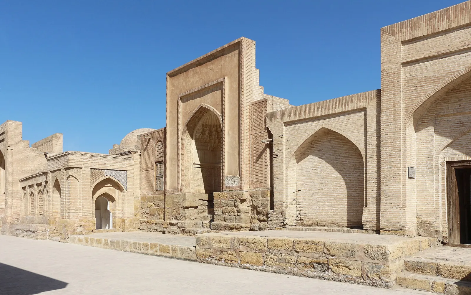
- Historic Centre of Bukhara — the UNESCO-listed old city with the Ark fortress, the Po-i-Kalyan ensemble, the Samanid Mausoleum and dozens of madrasas.
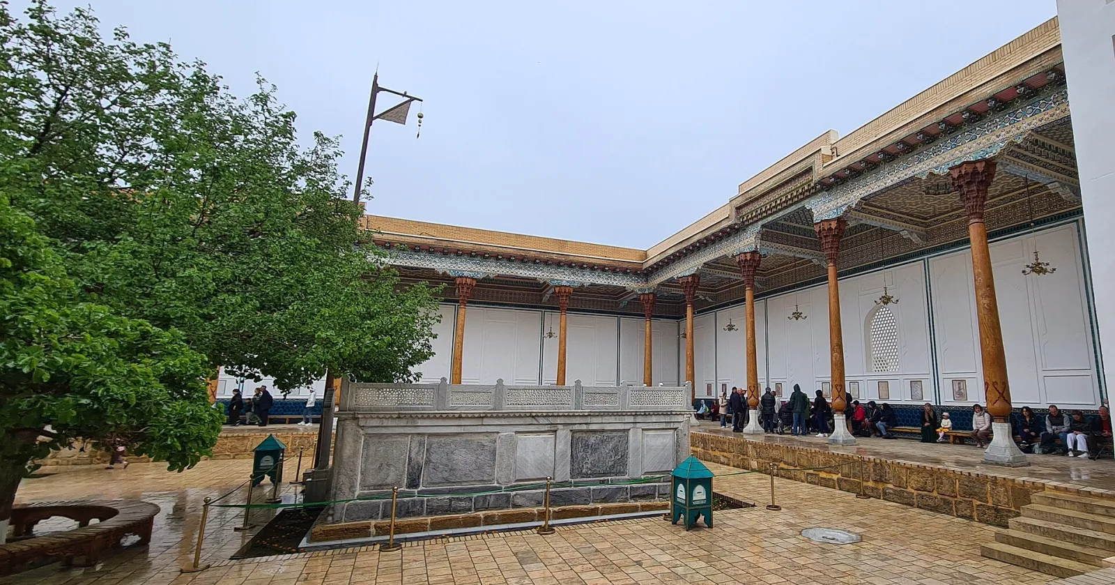
- Bahouddin Naqshband complex — a pilgrimage site at Qasri Orifon in Kogon District, around the tomb of the founder of the Naqshbandi Sufi order.
- Chor-Bakr — a 16th-century necropolis of mausoleums and mosques in the village of Sumitan near Bukhara.
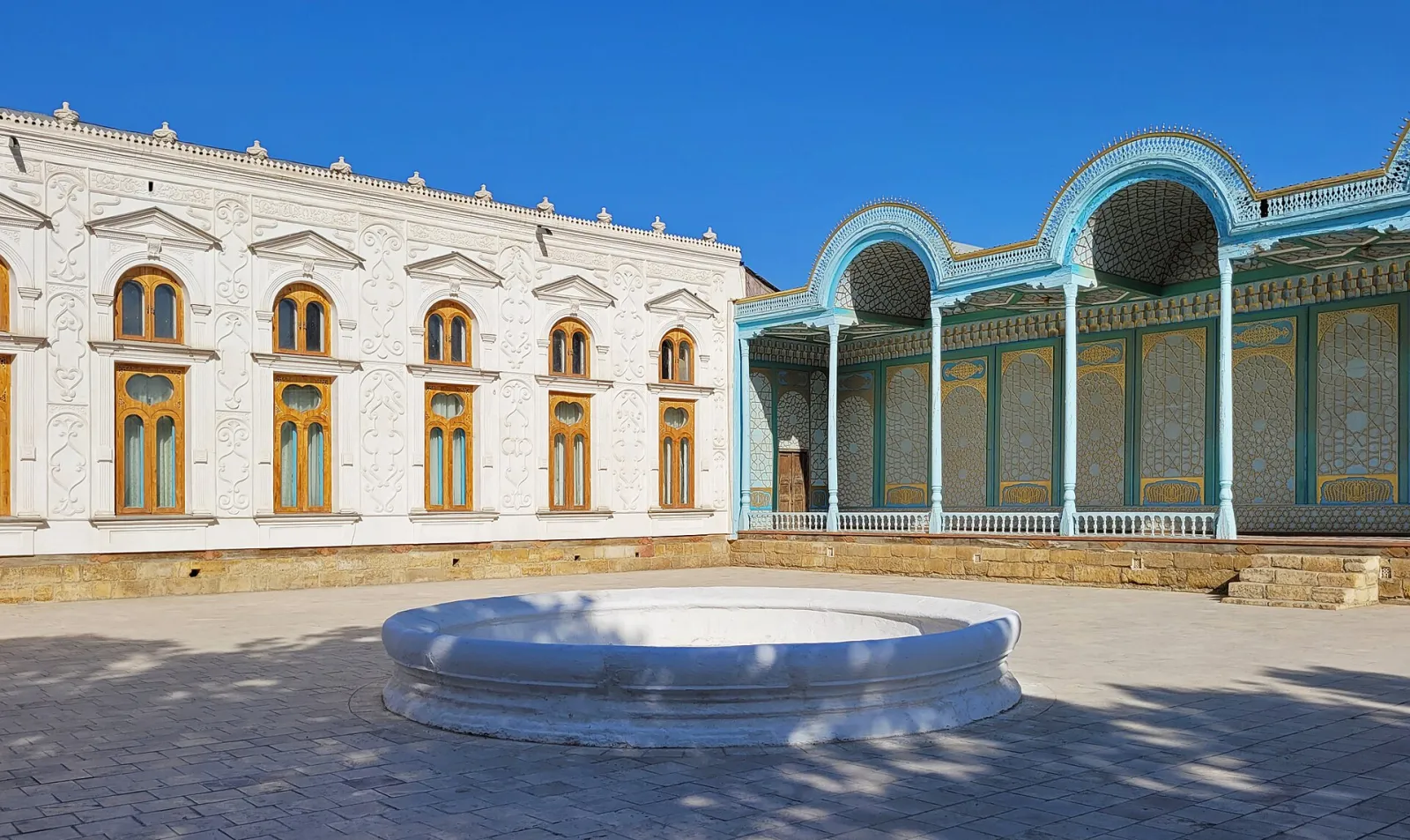
- Sitorai Mohi Xosa — the summer palace of the emirs of Bukhara outside the city, built around the turn of the 20th century.
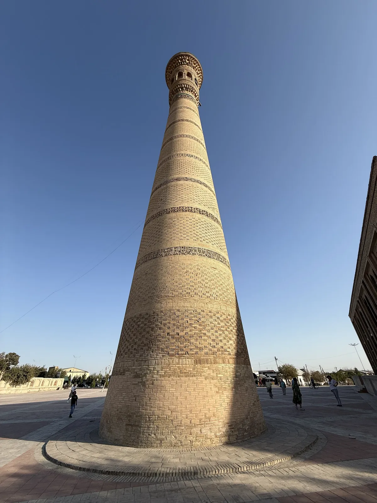
- Vobkent Minaret — a tall late-12th-century minaret known for its patterned brickwork.
- Ulugh Beg Madrasa in Gijduvan — built in the 1430s beside the tomb of Abdulkhaliq Gijduvani, the smallest of Ulugh Beg's three madrasas.
- Varakhsha — ruins of an ancient town in Jondor District, where Sogdian palace murals were found.
- Paykend — remains of an ancient "city of merchants" in Karakul District, now an archaeological reserve.
Borders: Karakalpakstan · Kashkadarya · Khorezm · Navoi
Sources: Wikidata · Wikipedia (uz) · Wikipedia (ru) · Wikipedia (en) · stat.uz · stat.uz · constitution.uz · gov.uz