Samarkand Region
Notable people born here (191 people)
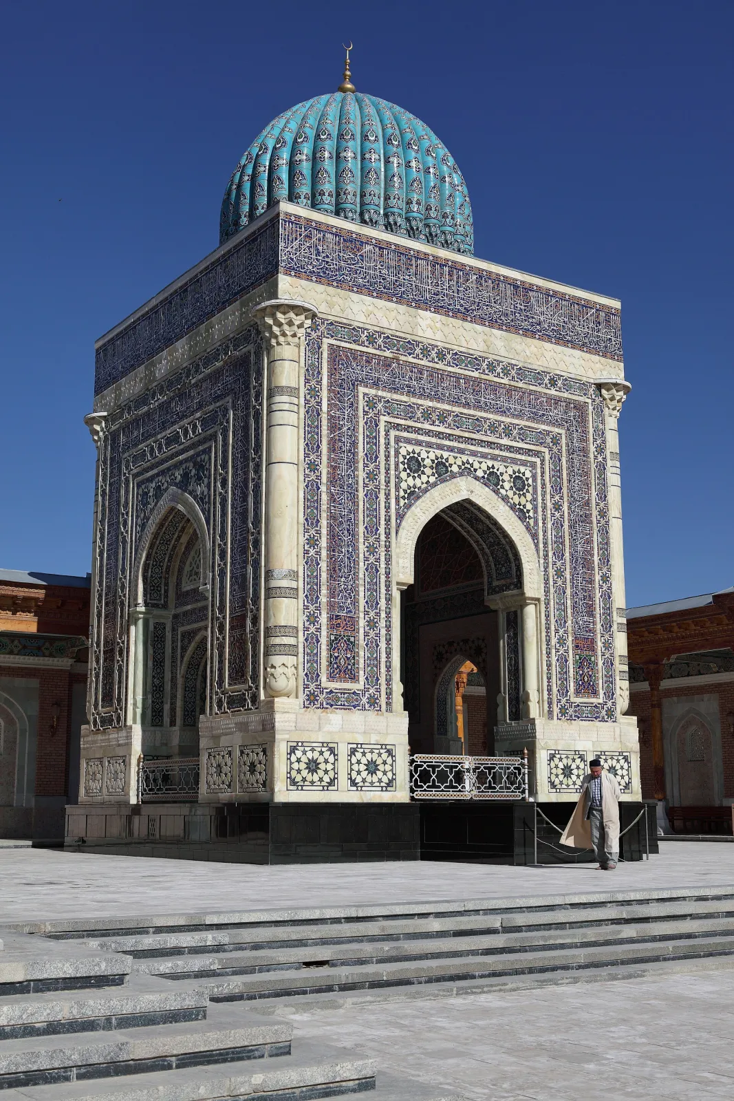
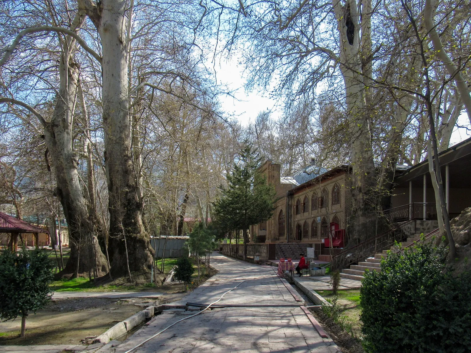
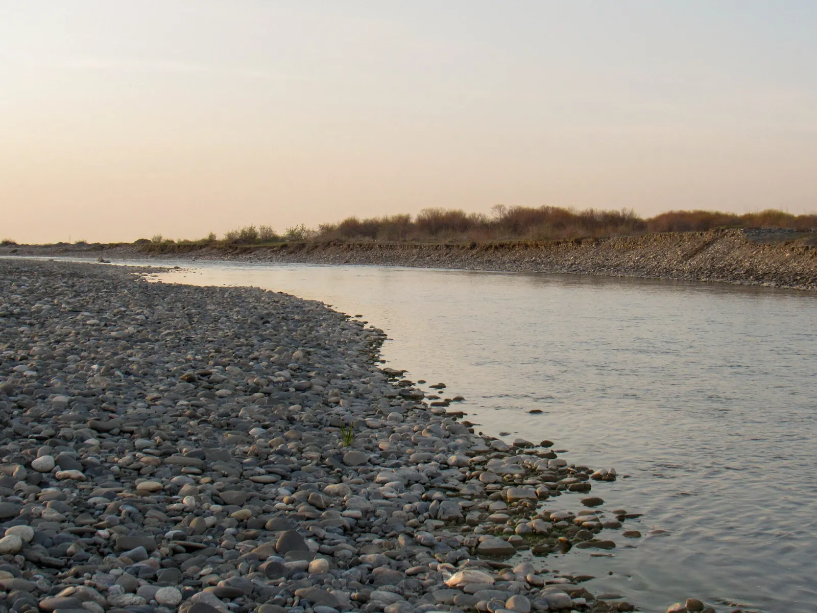
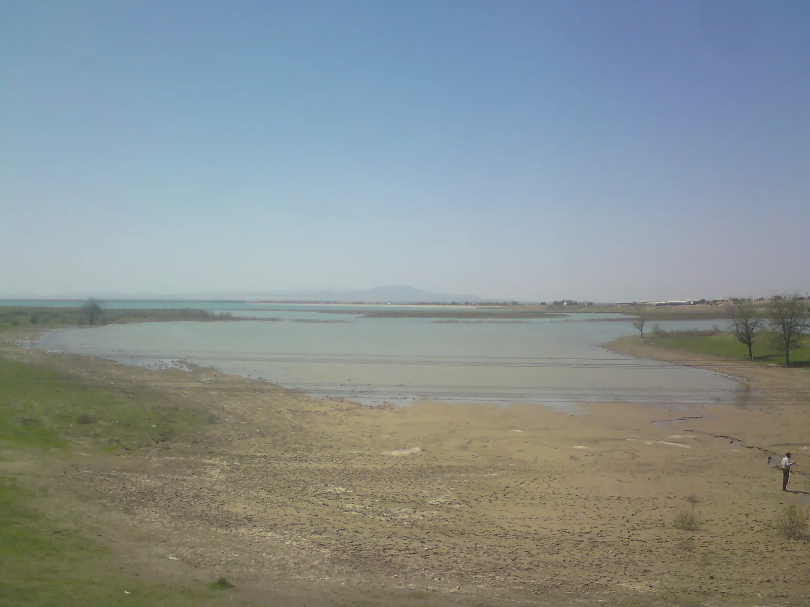
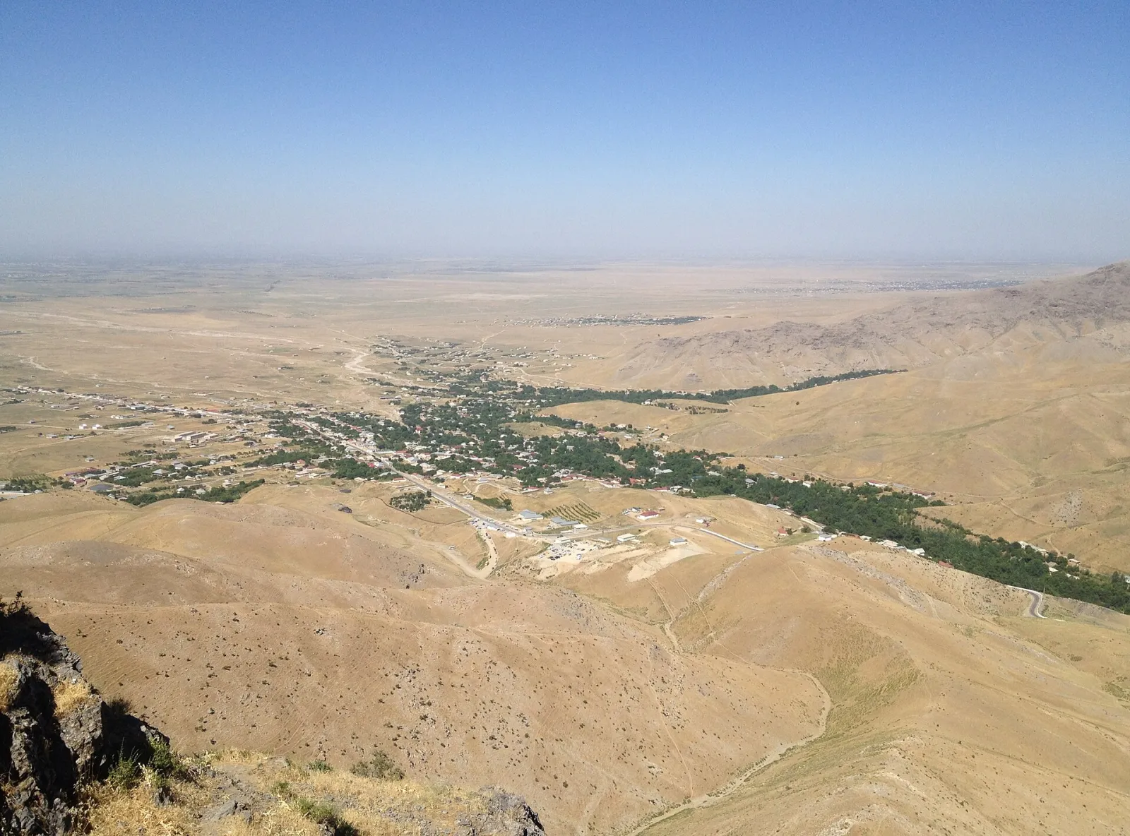
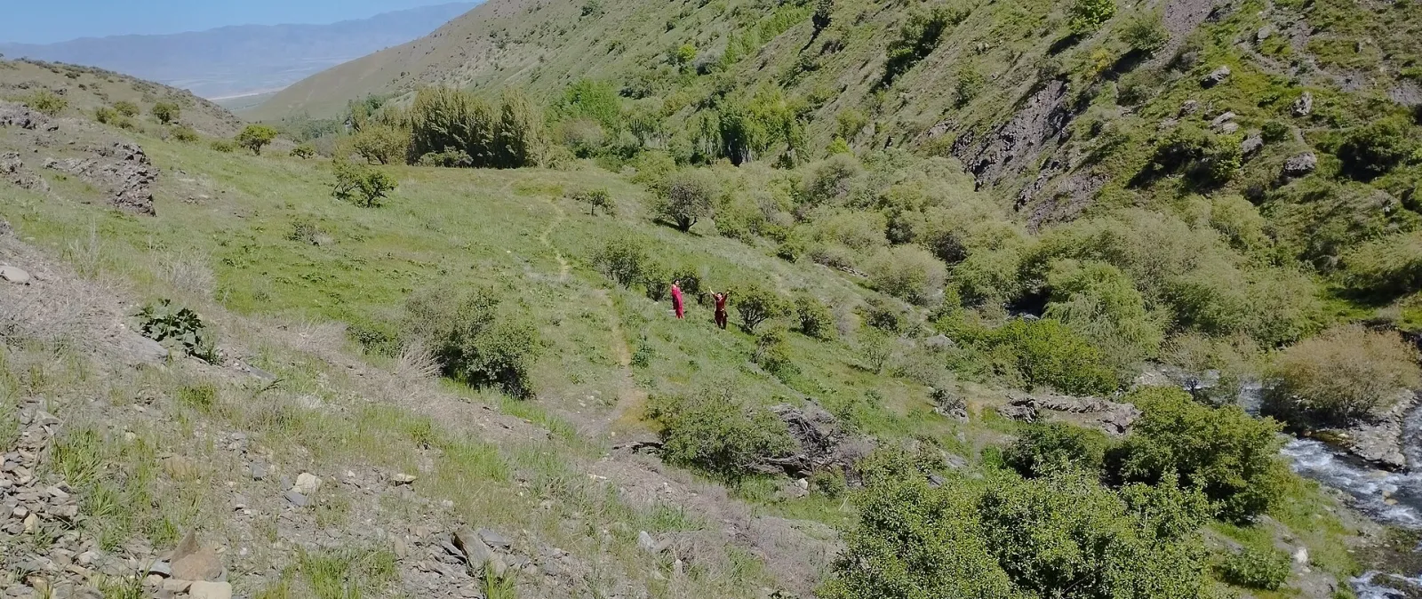
Samarkand Region, in the Zarafshan valley, is the most populous region of Uzbekistan. Its centre is the ancient city of Samarkand; the region is known for farming, orchards and the country's most famous historic monuments.
- Population
- 4,379,800 (2026)
- Area
- 16,770 km²
- Density
- 261 per km²
- Administrative centre
- Samarkand
- Founded
- 1938
Also well known




Cities and districts (15)









About the place — Samarkand Region
History
The Zarafshan valley was settled very early: an Upper Palaeolithic site has been found within Samarkand, and traces of the Stone Age have also been found around the Amankutan cave. In the 1st millennium BC the valley was the heart of Sogdiana, whose chief city was Marakanda — today's Samarkand.
The valley was one of the key links of the Silk Road. After the Arab conquest in the 8th century it belonged in turn to the Samanid, Karakhanid and Khwarazmian states. Ravaged by the Mongol invasion in the 13th century, in the 14th–15th centuries it became the centre of the empire of Amir Temur and the Timurids.
From the 16th century the area was part of the Khanate and later the Emirate of Bukhara. In 1868 the upper valley was taken by the Russian Empire, which set up the Zarafshan district of the Turkestan Governorate-General, later Samarkand Oblast.
The present Samarkand Region was created on 15 January 1938. It originally included the lands around Jizzakh and the Nurata district, which in later decades passed to Syrdarya, Jizzakh and Navoiy regions. From 1988 to 1992 Navoiy Region was temporarily merged into Samarkand Region.
Since independence many of the region's monuments have been restored and the Imam al-Bukhari memorial complex rebuilt. In 2001 Samarkand was inscribed on the UNESCO World Heritage List, and tourism has become an important part of the regional economy.
Geography
The region lies in the centre of the country in the Zarafshan basin and covers about 16,800 km². It borders Navoiy Region to the north and west, Jizzakh Region to the north-east and Kashkadarya Region to the south; to the east runs the state border with Tajikistan's Sughd Region.
The heart of the region is a broad valley between the Turkestan and Zarafshan ranges, where most of the irrigated land lies. The Zarafshan crosses the region from east to west and, below Samarkand, splits into the Akdarya and Karadarya branches, enclosing the island of Miankal. The Kattakurgan reservoir lies in the south-west. The foothills to the south and east hold scenic places such as Urgut and Amankutan.
The climate is continental: summers are hot and dry, with July averaging around 25–27 °C, while winters are fairly mild, with January around 0 °C. The valley receives over 300 mm of precipitation a year, mostly in spring and winter, and the foothills more.
The region has deposits of marble, granite, limestone and other building materials. Alongside cotton and grain, farming relies heavily on vineyards, orchards and silkworm breeding.
Sights
- Historic Samarkand — UNESCO-listed monuments including the Registan, Gur-e Amir, Shah-i-Zinda and the Bibi-Khanym Mosque.
- Imam al-Bukhari memorial complex — a pilgrimage site at the tomb of the renowned hadith scholar in the village of Hartang, north of Samarkand.
- Chor-Chinor garden in Urgut — an old garden with centuries-old plane trees, springs and a mosque.
- Hazrati Daud cave — a revered cave on a mountain slope in Nurabad District that draws many pilgrims.
- Amankutan — a scenic gorge on the slopes of the Zarafshan range, known for its juniper woods and a Stone Age cave site.
- Zarafshan National Nature Park — riverside tugai forests along the Zarafshan in Tayloq District.
- Kattakurgan Reservoir — the region's largest body of water, used for fishing and recreation.
Borders: Jizzakh · Kashkadarya · Navoi
Sources: Wikidata · Wikipedia (uz) · Wikipedia (ru) · Wikipedia (en) · stat.uz · api.siat.stat.uz · constitution.uz · gov.uz